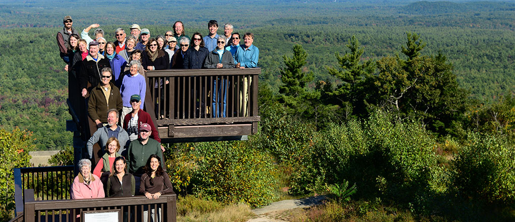
We are just some of the hundreds of faces behind the MtA2C effort. Photo by David J. Murray, ClearEyePhoto.com
Learn about our recent project highlights (2020 to present) here.
Why the Mt. Agamenticus region? It’s special – providing pure local drinking water, housing the greatest diversity of plants and animals in the state and featuring over 60 miles of trails for outdoor recreation – plus so much more! To explore the region, click here.
MtA2C’s work with willing landowners and towns is guided by a 2005 conservation plan designed to protect unique and important features of the region. See the Conservation Plan. See our progress by clicking on the latest Conservation Lands Map.
By working together, we’ve been able to conserve land more efficiently and strategically than working alone. MtA2C was awarded an EPA Environmental Excellence Award and is seen as a model of effective collaboration and innovation both regionally and nationally.
The MtA2C coalition includes partners ranging from international non-profits and government organizations to state and local land trusts:
- Great Works Regional Land Trust
- Kittery Land Trust
- Maine Coast Heritage Trust
- Maine Department of Inland Fisheries and Wildlife
- The Nature Conservancy – Maine Field Office
- Trust for Public Land
- US Fish and Wildlife Service/Rachel Carson National Wildlife Refuge
- Wells National Estuarine Research Reserve
- York Land Trust
- York Rivers Association
Learn how you can help us reach this goal! Click here to Support the Vision.